Accurately define property lines and plot boundaries for legal documentation and construction purposes.
Topographic Surveys
Capture elevation, contours, and natural features of the land to assist in design and site planning.
Site Layout and Setting Out
Mark exact locations on the ground for foundations, roads, and structures based on design plans.
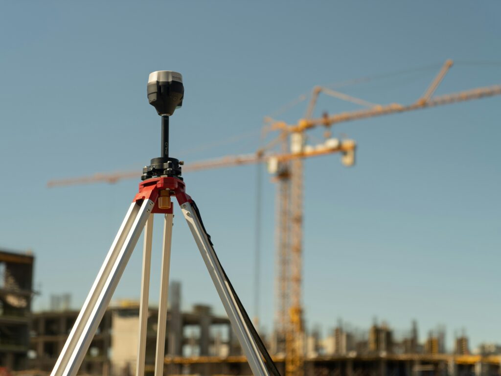
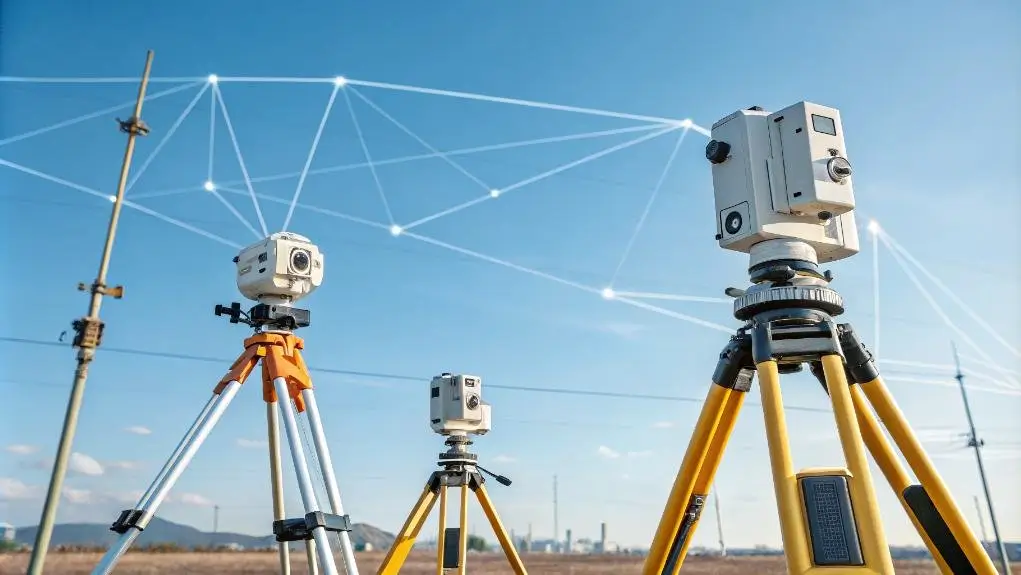
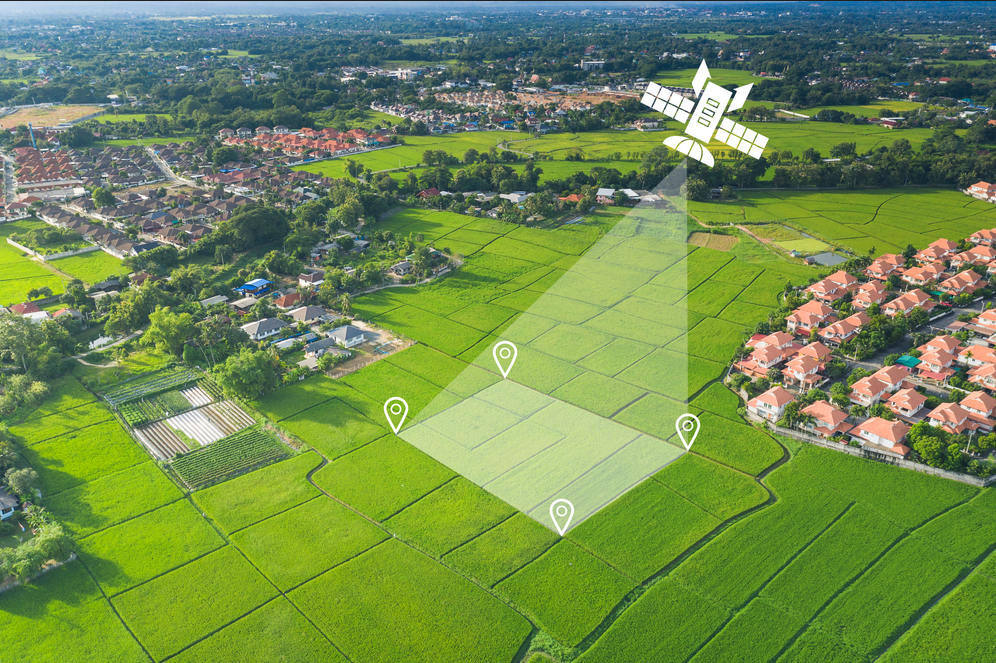
Geospatial Data Collection
Use modern tools like GPS, drones, and total stations to gather precise spatial data for mapping and analysis.
Preparation of site plans
Creating accurate, scaled drawings of land or property boundaries, showing key features, measurements, and layout for legal or construction purposes.
Detailing of properties
Recording and illustrating all physical features of a property, such as buildings, roads, utilities, and landscape elements, for reference or development planning
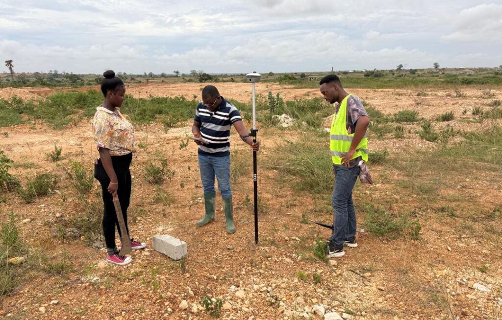
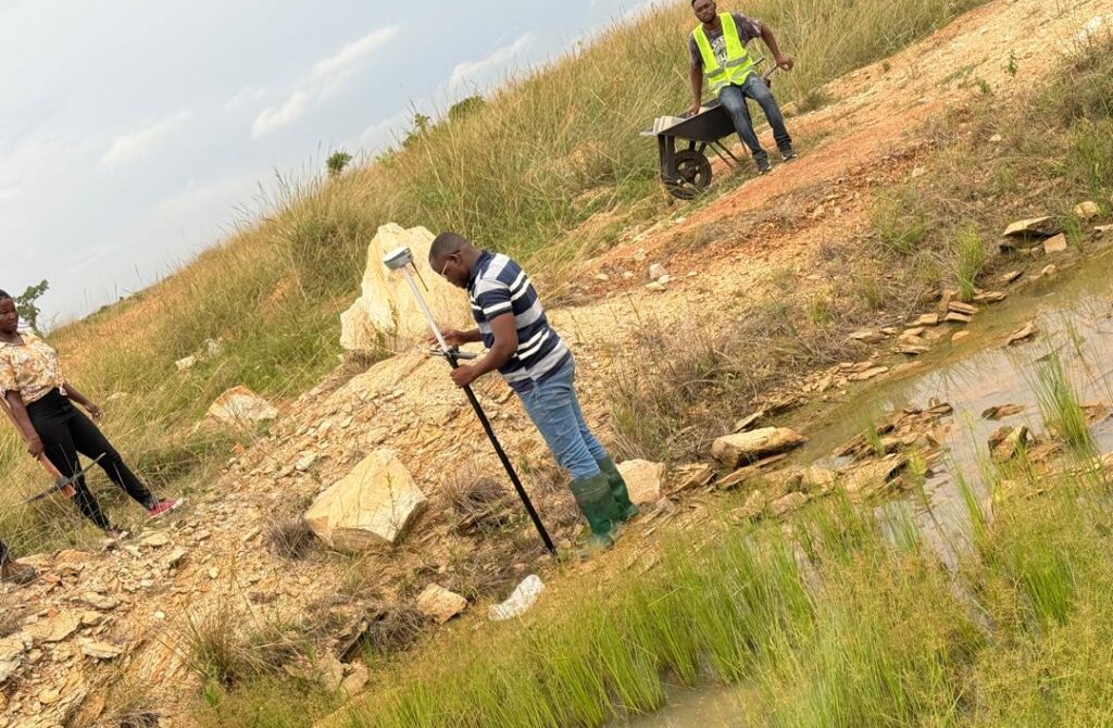
Setting out (Real Time Kinematic)
Using high-precision GPS technology (RTK) to mark exact positions on the ground for construction, ensuring structures are built in the correct location and alignment.
Demarcation
Defining and marking the boundaries of a property or parcel of land with physical markers to prevent disputes and establish clear ownership limits.